Outdoor navigation
onX Hunt
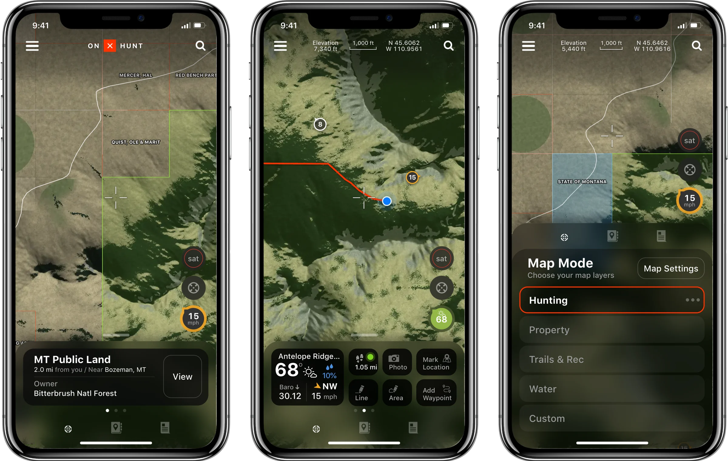
onX Hunt is a map for hunters. Its job is to show whose land is whose, public or private, so a hunter can tell where they are allowed to be. In 2018 I worked with onX in Bozeman on the next version of the iPhone app, and designed it around one map that reads the land under a crosshair, one sheet that holds everything else, and Map Mode, which changes what the map is for.
The first question is whose land this is
Across the West, public and private land sit side by side in a patchwork: a national forest, a state section, a ranch, then forest again. A hunter on the wrong side of an unmarked line is trespassing. So before anything else, the map has to answer whose ground you are standing on, and whose ground is over the next ridge.
The crosshair does the asking. Wherever the map comes to rest, the card under it names the land at the crosshair, who owns it and how far it is from you. Elevation and coordinates for the same point run along the top. There is nothing to tap and no pin to drop; reading the land is what moving the map does.
MT Public Land
4 mi from you / Near Bozeman, MT
Owner
Bitterbrush Natl Forest
Nothing marked yet
Drop a waypoint, record a track or draw an area, and it lands here.
Map Mode
Choose your map layers
One sheet, three heights
Everything that isn’t map lives in one frosted sheet. Lowered, it is a tab bar, and the map has almost the whole screen. Raised a little, it peeks: the land card first, then a swipe to the weather and tools. Raised all the way, it opens on Map Mode, or, from the card’s View button, on what is known about the land: owner, acres, access, elevation. The round buttons on the right ride on the sheet’s edge, so they never sit on top of it: the basemap, your location, and the Wind & Weather button, which reads the wind or the temperature at the nearest weather station.
The sheet is dark on purpose. A map of forest and rock is mostly dark green and brown, and white type on frosted black stays readable over all of it, in midday sun or in the last light. Reading at a glance, in whatever light, came back later on Android’s lock screen.
Building the navigation around the sheet made it the hardest part to get right. Almost everything moves by gesture: drag the map, pull the sheet between its heights, swipe across it between pages. So I tested as the design went, with qualitative sessions and quantitative tests, to check that people read the maps correctly and could find their way around the app with those gestures.
–1,000 ftN –
W –
MT Public Land
4 mi from you / Near Bozeman, MT
Owner
Bitterbrush Natl Forest
Nothing marked yet
Drop a waypoint, record a track or draw an area, and it lands here.
Map Mode
Choose your map layers
–1,000 ftN –
W –
MT Public Land
4 mi from you / Near Bozeman, MT
Owner
Bitterbrush Natl Forest
Nothing marked yet
Drop a waypoint, record a track or draw an area, and it lands here.
Lowered to its tab bar, and opened all the way on the land under the crosshair
Map Mode changes what the map is for
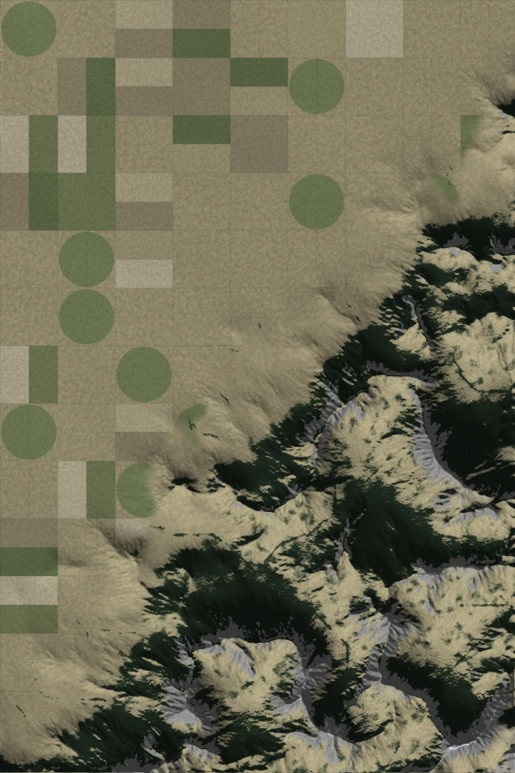
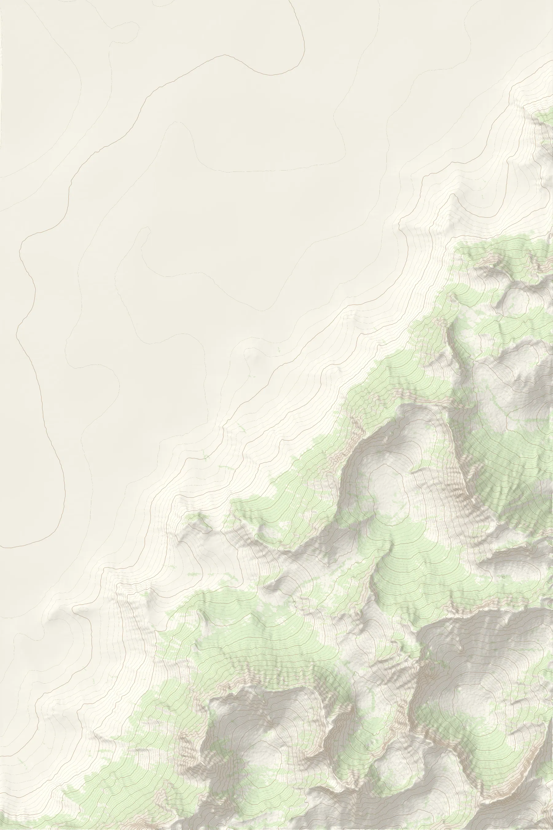
A hunter scouting a unit, a landowner checking a fence line and someone walking into camp want different maps. Map Mode gives each one a preset, so the whole map changes with one tap instead of ten switches. Hunting shows public land, private parcels and their owners. Property drops the public fill and keeps the lines and names. Trails & Rec trades ownership for trails, roads and peaks. Water draws every creek from the ridgelines down to the river. Custom is whatever you turn on under Map Settings.
–1,000 ftN –
W –
MT Public Land
4 mi from you / Near Bozeman, MT
Owner
Bitterbrush Natl Forest
Nothing marked yet
Drop a waypoint, record a track or draw an area, and it lands here.
Map Mode
Choose your map layers
–1,000 ftN –
W –
MT Public Land
4 mi from you / Near Bozeman, MT
Owner
Bitterbrush Natl Forest
Nothing marked yet
Drop a waypoint, record a track or draw an area, and it lands here.
Map Mode
Choose your map layers
–1,000 ftN –
W –
MT Public Land
4 mi from you / Near Bozeman, MT
Owner
Bitterbrush Natl Forest
Nothing marked yet
Drop a waypoint, record a track or draw an area, and it lands here.
Map Mode
Choose your map layers
The same ground in three modes: Property, Trails & Rec and Water
The tools sit one swipe away
On a hunt the wind decides where you can go, so the tools page leads with the weather for the nearest ridge: temperature, chance of rain, the barometer and which way it’s moving, and the wind’s direction and speed. The same reading sits on the map as a green pin, and on the Wind & Weather button at the map’s edge, whose notch points into the wind.
Beside it are the six things a hunter does with a map. Track records where you walk, and a green dot on its tile says it is still recording without opening anything. Photo and Mark Location pin where you stand. Add Waypoint pins the crosshair instead, so you can mark a wallow across the canyon without walking to it. Line and Area measure: tap the corners of a field and the map gives back its acres.
–1,000 ftN –
W –
MT Public Land
4 mi from you / Near Bozeman, MT
Owner
Bitterbrush Natl Forest
Nothing marked yet
Drop a waypoint, record a track or draw an area, and it lands here.
Map Mode
Choose your map layers
–1,000 ftN –
W –
MT Public Land
4 mi from you / Near Bozeman, MT
Owner
Bitterbrush Natl Forest
Nothing marked yet
Drop a waypoint, record a track or draw an area, and it lands here.
Map Mode
Choose your map layers
Measuring the climb to the ridge, and an area drawn over the next drainage
Outcome
I was the lead designer, working with onX from October to December 2018, on site in Bozeman and alongside a review of how the map itself was styled. Wind & Weather shipped in onX Hunt on December 3, 2018: the button at the edge of the map that reads the wind or the temperature, the weather stations on the map, and the bar that names the nearest one, how far it is from you and what it reads. The sheet, the land card and Map Mode appear here as designed. The terrain, land owners, places and markups on this page are invented, not onX’s data.
- Role
- Lead designer, on contract
- Year
- 2018
- Platform
- iPhone
- Prototype
- Rebuilt from the 2018 design